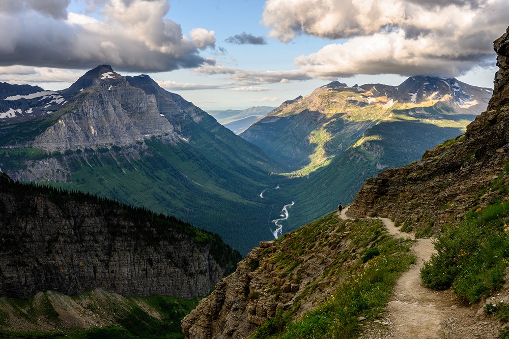
Kentucky may be known for the many underground caves and caverns it houses. But the Bluegrass State also has plenty of hiking trails above the ground. Each of them traverses through the scenic parts of the state, including within Daniel Boone National Forest in the east, Mammoth Cave National Park and Land Between The Lakes in the west, and various other state parks scattered all over Kentucky. The views of impressive rock formations, waterfalls, and dense woodlands all along the way are sure to ease the strenuous hike towards your destination.
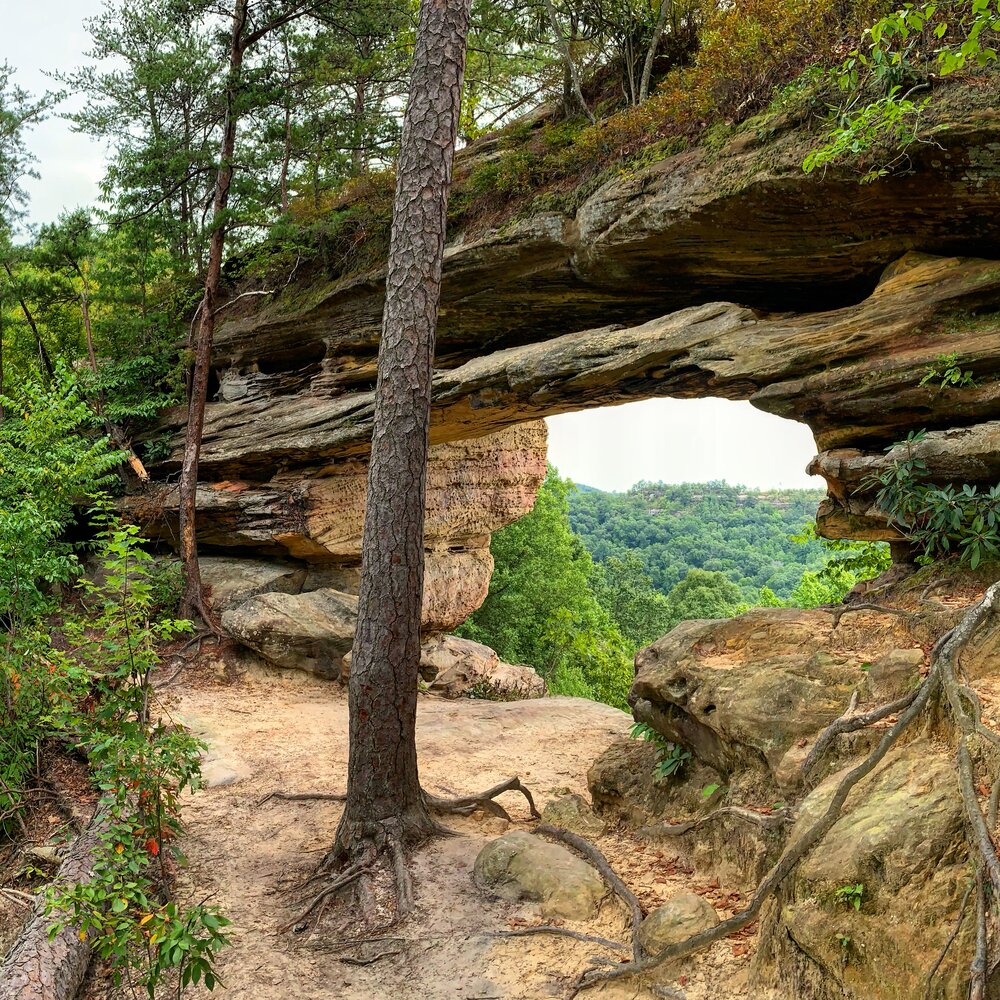
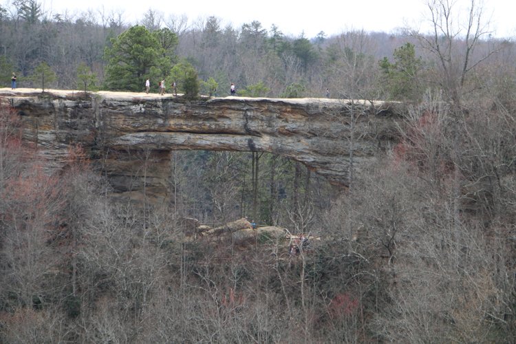
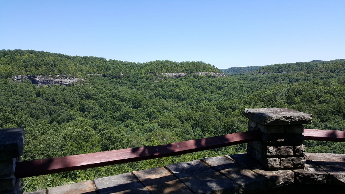
Natural Bridge State Resort Park in Slade offers some of the state’s most scenic hiking trails. Out of these, you can choose the Original Natural Bridge Trail, which boasts stunning scenery as it starts from behind the Hemlock Lodge and runs through hemlock forests blooming with colorful rhododendrons. Though it’s a short trail, you’ll find many shelter points to pause and soak in the beauty. It ends beneath the Natural Bridge, but you can take another path from the bridge’s other side to hike to the top for a breathtaking visual retreat. As it traverses through a natural fissure, the narrow points can be a little challenging to access, especially if you’re claustrophobic.
Another trail named Battleship Rock Trail also starts from the Original trailhead.As it traverses through lush forests and along the gorge, you will be able to feast your eyes with various rock formations including the Battleship Rock.If you are fit and fine, don’t miss climbing the rugged and steep staircases of Devil’s Gulch and Needles Eye for additional views. However, if you want to skip the climb, you can continue treading on the trail to reach the Natural Bridge.
Length: Original Natural Bridge Trail (about 1 mile, out and back), Battleship Rock Trail (about 4.2 miles, loop)
Difficulty: Original Natural Bridge Trail (Moderate), Battleship Rock Trail (Moderate)
Best time to visit: January to November
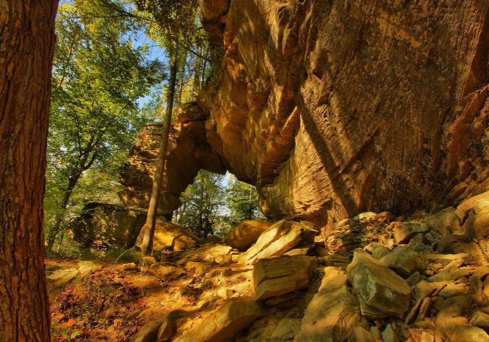
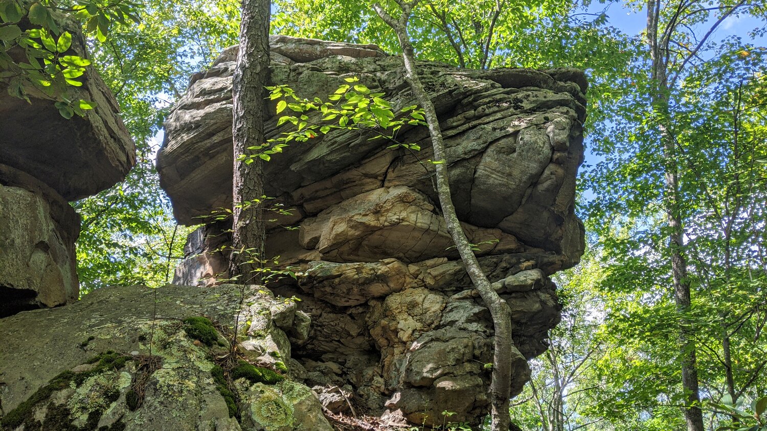
Red River Gorge Geological Area, situated within Daniel Boone National Forest, houses numerous natural bridges and arches. Among these, Double Arch is quite famous, accessible by a well-maintained trail. Hikers may find the initial hike on a flat, gravel road a bit boring as there’s not much to see. However, once you scramble your way to get to the top, you will be greeted with jaw-dropping views that are absolutely worth it. You can also spot the stunning formations of Courthouse Rock and Haystack Rock which look gorgeous during fall as they contrast the vibrant landscape.
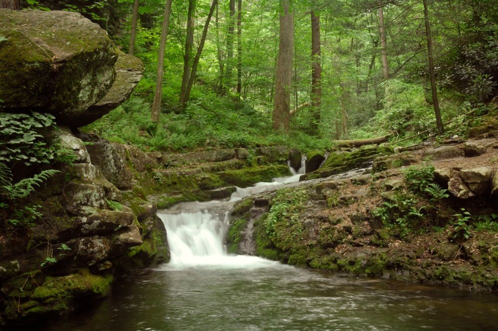
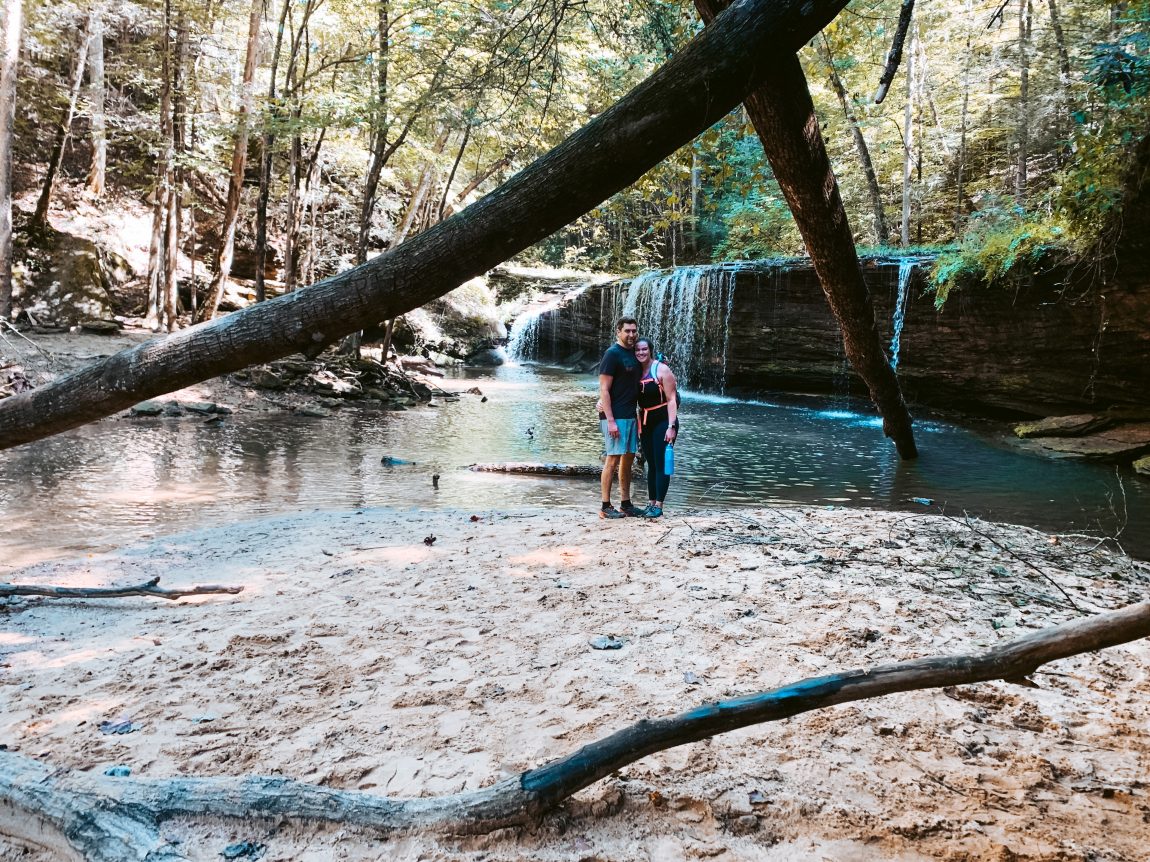
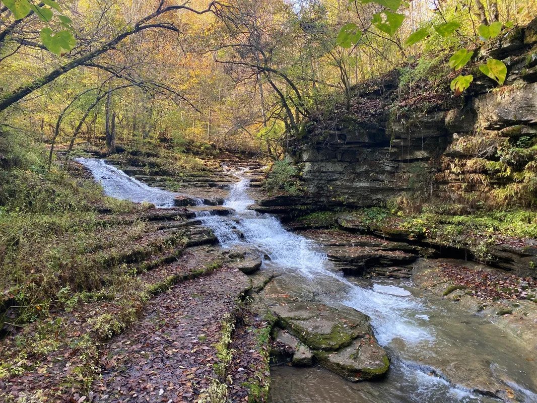
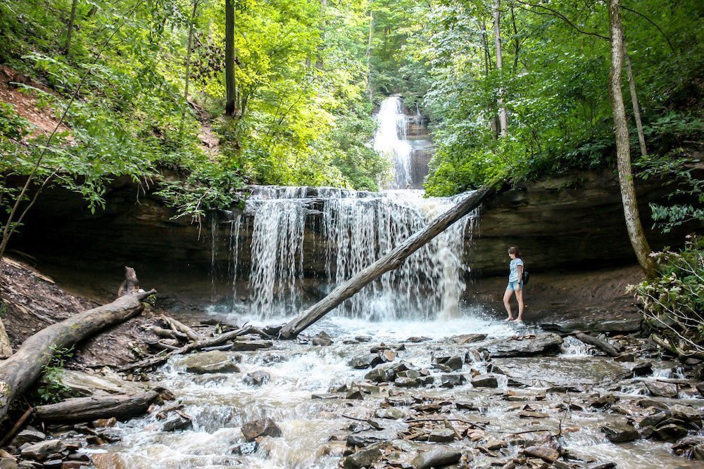
Another scenic trail you may enjoy hiking is the Rock Bridge Trail, which meanders along a creek and boasts diverse landscape views. Despite the steep inclines and declines and the muddy parts in the rainy season, you will not regret hiking it. On your way, you will pass a hollow cave formation called Rock House and also a pretty little waterfall of 12-foot height cascading into a shallow pool. Hiking further will bring you to the trail’s end, where you can get the first view of Swift Camp Creek from the Rock Bridge that spans it. You can consider choosing a shady spot here for a family picnic while admiring the scenery.
Other picturesque trails within the Red River Gorge area worth exploring are Gray’s Arch Loop and Indian Staircase Trail.
Length: Double Arch Trail (About 4.5 miles, round trip); Rock Bridge Trail (About 1.5 miles, out and back)
Difficulty: Double Arch Trail (Moderate); Rock Bridge Trail (Moderate)
Best time to visit: March to October
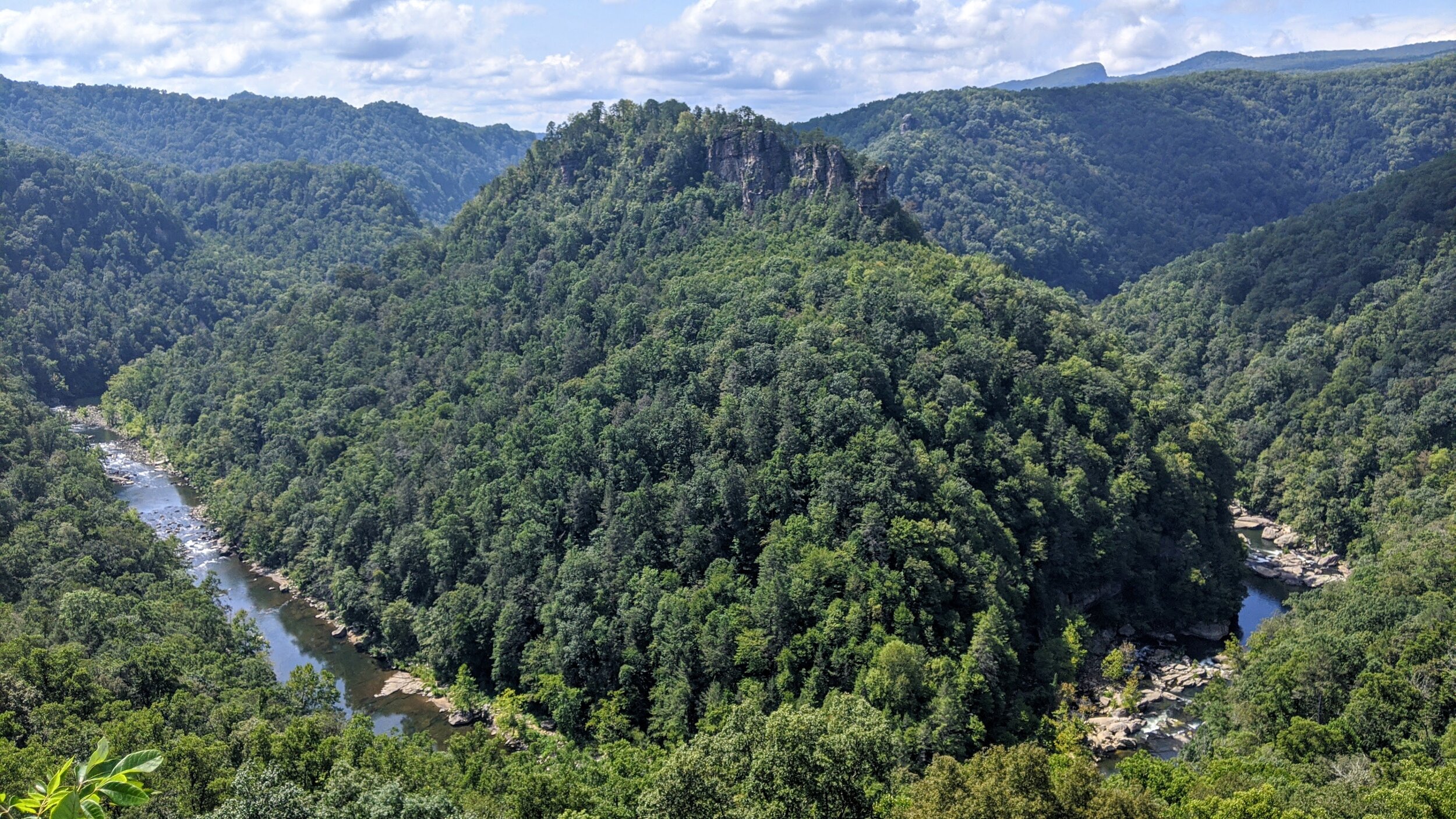
Though this trail is still under construction, you will be able to hike about 42 miles of the 120 miles.After it is fully developed, the entire route will traverse along Pine Mountain Ridge, stretching from Breaks Interstate Park to Cumberland Gap National Historical Park. If you’re an avid hiker, you can tread along the Birch Knob Section that passes about 25 miles from Elkhorn City to U.S. 23. It’s a combination of muddy, rocky, and steep terrains, making it challenging to reach the trail end. Once you manage to access the Birch Knob, you can enjoy the sweeping views of Kentucky and its neighboring states like Virginia and West Virginia. You’ll find a trail shelter on your way that accommodates up to 12 backpackers.
Another popular part is the Highlands Section that spans from U.S. 23 to U.S. 119. The steep routes and staircases along the trail that meanders through the forest are difficult to access. You can pause at the various viewpoints to catch your breath and take in the views or even click some pictures. Do keep in mind to bring sufficient water with you as there is a scarcity of drinking water in the trail’s northern half.
Length: Birch Knob Section (28 miles, point to point); Highlands Section (About 16 miles, point to point)
Difficulty: Birch Knob Section (Hard); Highlands Section (Moderate)
Best time to visit: All year round
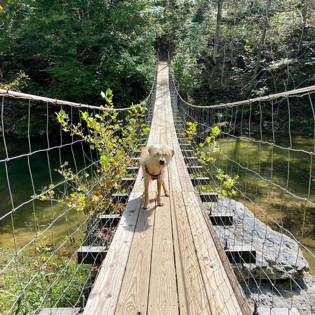
Kentucky’s iconic Sheltowee Trace Trail begins from northern Kentucky and extends south to reach Pickett State Park in Tennessee. If planning a backpacking trip, you will find out that most of the trail’s part lies within Daniel Boone National Forest. Sheltowee, meaning ‘Big Turtle,’ was the name given to Daniel Boone, a famous explorer, after the leader of the Shawnee tribe, Chief Blackfish, adopted him as the son. He further made several explorations in this area which now lies within the national forest named after him.
Besides the national forest premises, the trail also passes through several significant sites, including Cumberland Falls, Red River Gorge, Big South Fork, Cave Run Lake, National Bridge State Resort Park, Laurel Lake, and many other wildlife management areas. It will take approximately 21 to 30 days to hike the entire trail.
One of its sections, the Van Hook Falls Trail, would be ideal for enjoying the natural vistas for a day-hike. It leads its way through rich woodlands boasting lush vegetation, plenty of waterfalls and cascades, streams, and fascinating rock formations. Once you reach your destination, the 30-foot Van Cook Falls awaits you.
Length: About 319 miles (point to point)
Difficulty: Moderate to Hard
Best time to visit: Spring and Fall
Besides being home to the maximum number of underground caves in the state, Carter Caves State Resort Park also features over 26 miles of hiking trails. A well-known section is the Three Bridges Trail that will allow you to hike three natural bridges, Smoky Bridge, Raven Bridge, and Fern Bridge. It is rocky in several points with stone stairs to climb, making it quite strenuous to access. However, you will be able to enjoy the lush greenery and views of Smokey Valley Lake along the way.
Another trail, Horn Hollow Trail, is quite scenic. Most of its parts are easy to hike except for the few sharp switchbacks up the hill. The views of the valley, multiple cave entrances, and climbing over massive rocks make it an interesting hike. If you visit it in springtime, the enchanting sights of wildflowers blooming around will provide an excellent treat to the eye. If coming in winter, do be careful of icicles clinging from the cave’s mouth.
Length: Three Bridges Trail (About 3 miles, loop); Horn Hollow Trail (About 1.4 miles, loop)
Difficulty: Three Bridges Trail (Moderate), Horn Hollow Trail (Moderate)
Best time to visit: All year round
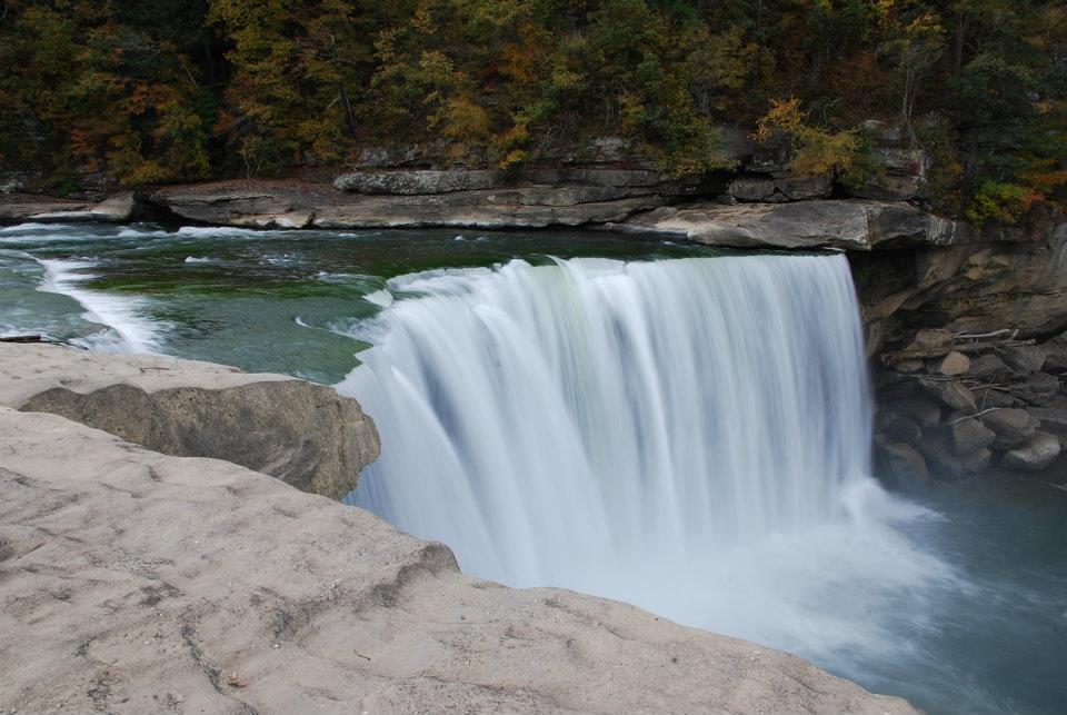
Two well-known trails that you can consider hiking in Cumberland Falls State Resort Park are Eagle Falls Trail and Dog Slaughter Falls Trail.
Eagle Falls Trail leads to the 44-foot waterfall. Also, it offers incredible views of Cumberland Falls while following the cliff line alongside the Cumberland River. Despite the strenuous rock-scrambling section and steep staircase, any waterfall lover will indeed enjoy hiking the trail.
Dog Slaughter Falls boasts beautiful views of rhododendrons and hemlock trees as it runs parallel to Dog Slaughter Creek. The exposed roots, rocks, and steep points make it a moderately difficult hike. However, you will find the views of the 15-foot waterfall at the creek’s mouth awe-inspiring. Once you reach its base after climbing down the rugged, hilly section, make sure to plunge in the water to cool off while taking in the views. Do wear appropriate hiking shoes and pack your lunch to enjoy here.
Length: Eagle Falls Trail (About 1.8 miles, out and back), Dog Slaughter Falls (About 2.4 miles, round trip)
Difficulty: Eagle Falls Trail (Moderate) Dog Slaughter Falls (Moderate)
Best time to visit: All year round
Land Between The Lakes, a National Recreation Area, is one of the state’s gems located in its southwestern part, with Lake Barkley and Lake Kentucky flowing on either side. It also offers several hiking opportunities abundant with the picturesque landscape to explore. You can hike the Honker Lake Trail if seeking a day-hike with family. Starting from Woodland Nature Station, it circles the Honker Lake, an embayment of Lake Barkley, on relatively flat terrain. The encompassing dense forest is home to many birds and animals like whitetail deer, blue herons, pelicans, and bald eagles that you might encounter on the way,
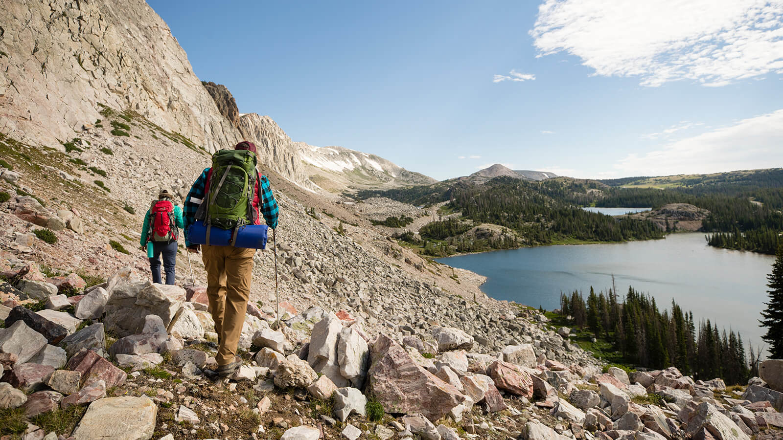
You can opt for the North-South Trail that runs across the entire recreation area for a backpacking adventure. While the northern section is mainly a singletrack trail with three backcountry shelters, the southern part features numerous multi-use tracks. You’ll find a bit of everything here, such as lush vegetation, shorelines, springs, ridges, and many more. It’ll take about five days to complete exploring the entire trail.
Length: Honker Lake Trail (About 5.5 miles, loop); North-South Trail (About 55.5 miles, point to point)
Difficulty: Honker Lake Trail (Easy to Moderate), North-South Trail (Moderate)
Best time to visit: March to October
If you enjoy soaking yourself in nature’s beauty while hiking, then you shouldn’t miss exploring the trails within Big South Fork National River and Recreation Area in southeastern Kentucky. You can tread along the Yahoo Falls Loop Trail leading to a rock shelter behind the 113-foot splendid waterfall. It’s a reasonably easy hike except for the steep climb on the metal steps.
If you’re looking for a challenging overnight hike, the Angel Falls Overlook to Grand Gap Loop would be an ideal trail. The steep climb to reach the top of the bluff will reward you with panoramic views of Big South Fork and the surrounding valleys. Along the way, you’ll also come across the Angel Falls Overlook and the Fall Branch Overlook, with beautiful wildflowers blooming all around. It’s pretty strenuous hiking the sharp inclines and declines. Do bring sufficient water with you as will not find it on your way to the bluff’s top.
Length: Yahoo Falls Loop Trail (About 4.2 miles); Angel Falls Overlook to Grand Gap Loop (About 12 miles)
Difficulty: Yahoo Falls Loop Trail (Easy to Moderate), Angel Falls Overlook to Grand Gap Loop (Hard)
Best time to visit: All year round
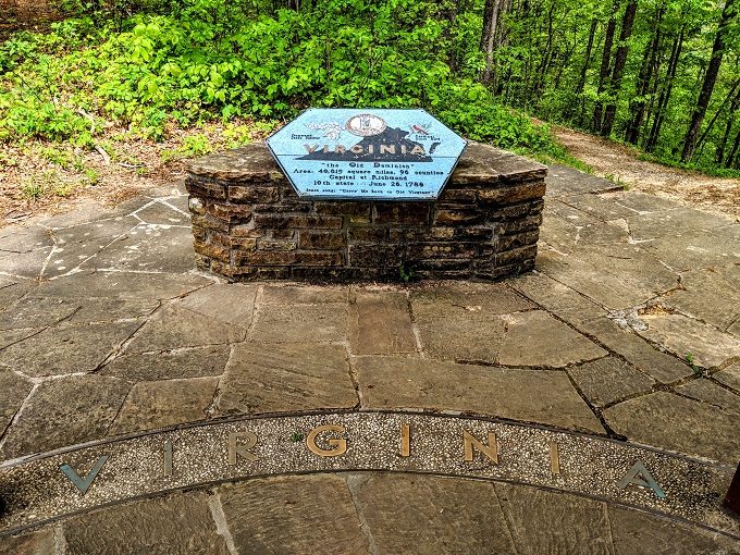
Tri-State Peak Trail is a popular trail within Cumberland Gap National Historical Park which lies on the borders of Kentucky, Tennessee, and Virginia. It takes you to the top of the peak where the three states meet, which is indeed a breathtaking experience. While hiking along the historic Civil War roadbed, you’ll be able to see many ruins of the war, like rifle trenches and an old Iron Furnace used during the 1800s to make iron. The rocky and steep parts will give you a good workout, but you can take quick breaks on the benches at regular intervals. After completing your hike, you can head to the visitor center to gather information about the area’s history.
Length: About 2.2 miles (round-trip)
Difficulty: Moderate
Best time to visit: All year round
Another trail worth mentioning among the 85 miles of hiking trail within Cumberland Gap National Historical Park is the Pinnacle Trail. The trailhead is nestled amidst trees and dense vegetation at the edge of the parking lot. It takes you to the Pinnacle Overlook that provides stunning views of Kentucky to the right, Tennessee at the front, and Virginia to the left. Though the elevation gain to reach the destination is challenging, you will be able to enjoy the picturesque vistas throughout.
Length: About 7.8 miles (out and back)
Difficulty: Moderate
Best time to visit: April to October
Breaks Interstate Park, located partly in southeastern Kentucky and mainly in southwestern Virginia, features plenty of hiking trails. Out of these, you can hike the Breaks Interstate Loop that has many beautiful lookouts offering impressive views of gorges and rock outcrops. Though not overly strenuous, the narrow points andslick, moss-covered rocks can be quite a challenge. You’ll have to pay a mere fee of $ 2 to enter the park premises.
Length: About 3 miles
Difficulty: Moderate
Best time to visit: All year long
Located just two miles away from Lexington, Panoramic Trail is one of the easiest to hike within Daniel Boone National Forest. It follows the ridge on a flat path boasting awe-inspiring views of the canyon and the dense tree canopy. Moreover, at the trail’s end, you will find two viewpoints from which you can admire the fall foliage if visiting in October.
Length: About 1.1 mile (out and back)
Difficulty: Easy
Best time to visit: September to May
The Black Mountain is the highest point of the state, sitting on the borders of Kentucky and Virginia. From the Kentucky area, the trail begins from the main road traversing through the town of Lynch. Though you can also drive all the way to the top, a hike on the old, worn-out road would allow you to experience the beauty of nature. There’s a lookout tower at its summit, though not accessible to the public.
Length: About 4.6 miles (loop)
Difficulty: Easy to Moderate
Best time to visit: All year round
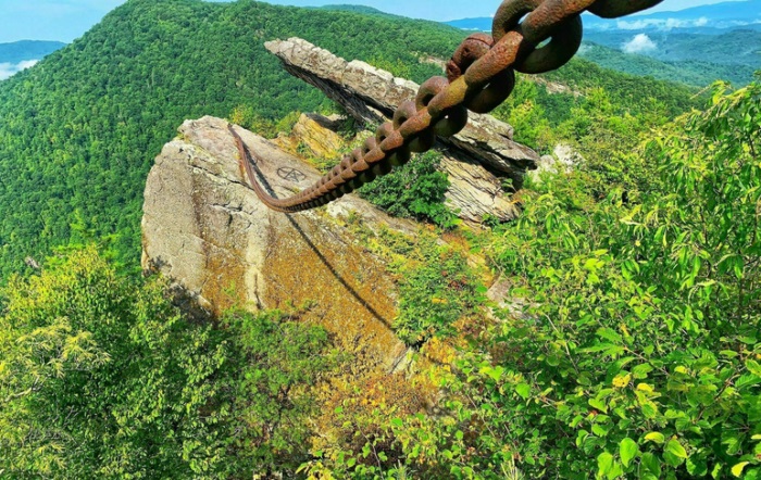
This trail within Pine Mountain State Resort Park leads to the Chained Rock. Though short, the steep stone stairs with over 200 steps and the rock scrambling towards the end make it a strenuous hike. However, you will find many benches along your way to catch hold of your breath before you begin again. Once you reach the top, the mesmerizing views will not make you regret the arduous journey to come here. It gets its name ‘rock trail’ after a natural feature sitting on top of the mountain. As the name suggests, you’ll find a chain on it put by the town’s locals below due to the fear of the rock rolling down and destroying the residing area someday.
Length: About 1 mile (out and back)
Difficulty: Moderate
Best time to visit: All year long
Raven Run Nature Sanctuary in Lexington features over 10 miles of hiking trails meandering along dense woodlands, meadows, and streams. A paradise for nature lovers, it houses about 600 plant species and 200 types of birds. In addition, the ancient relics you’ll find within the premises also provide visitors an insight into the lives of the 19th-century settlers in the vicinity. Do remember that no pets are permissible inside the sanctuary.
You can hike the Red Trail to explore the natural wonders from cliffs to small waterfalls as it winds through the forested areas. Make sure to put on sturdy hiking shoes to access the muddy points. Several benches by the creeks allow visitors to take short breaks and admire nature.
Just off the Red Trail is the Orange Trail that you can continue hiking. It is short and allows hikers to experience both open meadows and dense woods. Though it gains some elevation, you will get some of the best views of the surrounding.
Length: Red Trail (About 5.4 miles, loop); Orange Trail (About 1 mile)
Difficulty: Red Trail (Moderate), Orange Trail (Easy to Moderate)
Best time to visit: All year long
A short drive from downtown Louisville will bring you to this trail leading to the enchanting 130-foot waterfall. It is steep and rocky with stone steps and uphill climbs. As you tread along the creek after descending the stairs, you can see the ruins of a spring house which was a stopover for the carriages in the 19th century. After hiking about a mile from here, you will reach the Tioga Falls that dramatically plunges in multiple drops. You can enjoy picnicking here before heading back to the parking lot.
Length: About 2 miles (round-trip)
Difficulty: Moderate
Best time to visit: All year long
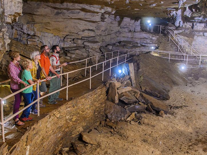
After exploring the underground caves within Mammoth Cave National Park, you can enjoy the picturesque landscape by hiking the various trails. Out of these, hikers prefer wandering along the combined route of Green River Bluff, Echo River Springs, Sinkhole, and Heritage Trail. It will take you through the woods providing views of several fascinating geological features, sinkholes, Dixon Cave, and a pristine river. Though there are some inclines and declines and rocky paths, the trail is well-maintained, making it accessible for hikers of any skill level.
Another trail that you can consider treading on if planning for a family outing is the loop trail around Nolin Lake. Though easy, there are some challenges like the steep climbs and rocky and muddy points. However, the rock formations, a pretty little waterfall, and creeks flowing along the way provide a perfect feast to the eyes.
Length: Green River Bluff Echo River Springs, Sinkhole and Heritage Trail (About 4.5 miles, loop); Nolin Lake: Waterfall, Lakeshore Bluff, and Point Loop (About 7 miles, loop)
Difficulty: Green River Bluff, Echo River Springs, Sinkhole and Heritage Trail (Moderate), Nolin Lake: Waterfall, Lakeshore Bluff, and Point Loop (Easy to Moderate)
Best time to visit: March to November
TOP PICKS
Best Waterfall Hikes: Big South Fork National River and Recreation Area, Tioga Falls Trail, Red River Gorge Geological Area
Best Trails for Camping: Double Arch Trail, Sheltowee Trace Trail, Mammoth Cave National Park
Best Fall Hikes: Honker Lake Trail, Cumberland Falls State Resort Park, Chain Rock Trail
Best Winter Hikes: Cumberland Falls State Resort Park, The Land Between The Lakes, Breaks Interstate Park Trails

Hello there! My name is Jay and I run this website. I'm a full-time traveler and freelance writer. This is where I share travel advice and help people pursue their traveling dreams.
You can learn more about me and my mission on the about me page.
It's nice to have you here :)