Utah is one of the most happening places in the United States and is studded with natural resources to explore. This list brings you a few of the most beautiful and adventurous trails worth hiking – be with your friends, your special someone, or with your family, kids, and pets.


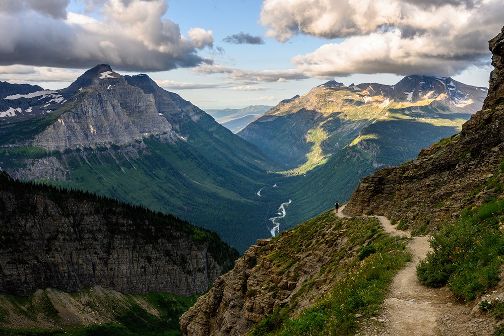
Located not too far from populated locations like the Twin Peaks in Utah’s Salt Lake City and Vernal, Mount Olympus Trail is averagely trafficked out, and back trail and is known for its amazing wildflowers along the track. However, the path is very steep and has been categorized as ‘Class 3’. The trail is known to be challenging to explore despite having a whole lot of options for different kinds of activities. The best time to visit the site is between March and October, and it is also dog-friendly. You will get the dramatically fascinating views of the Wasatch Valley and the entire Salt Lake City as you climb up about 4,000 feet up the mount.
Length: 7.3 miles
Type: Difficult

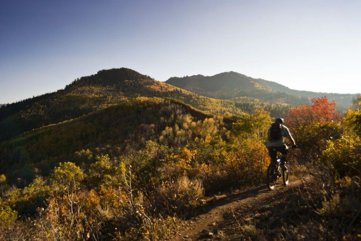
This trail is ideal for beginners to intermediates for indulging in some good day hikes, as well as biking through the trails. The site is located on the eastern corner of Park City, close to US-40 on the Kearns Blvd. The trail is well-marked. As you explore through the tracks, you will find some trail intersections display well-guided trail maps.
Length: 6.2 miles
Type: Moderate
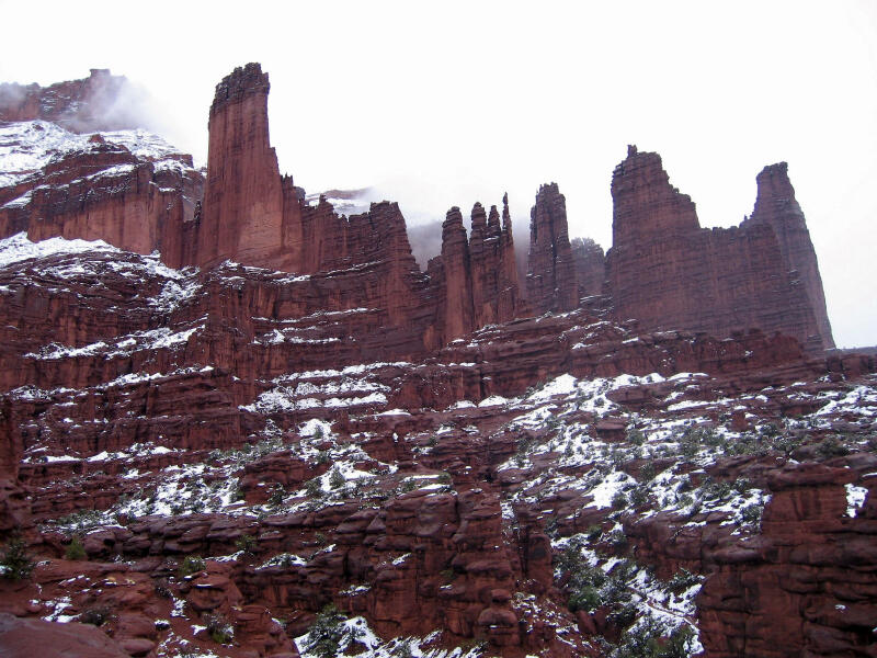
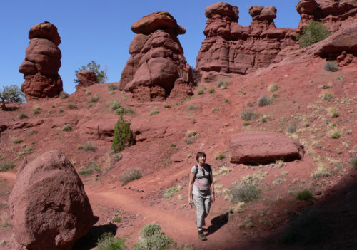
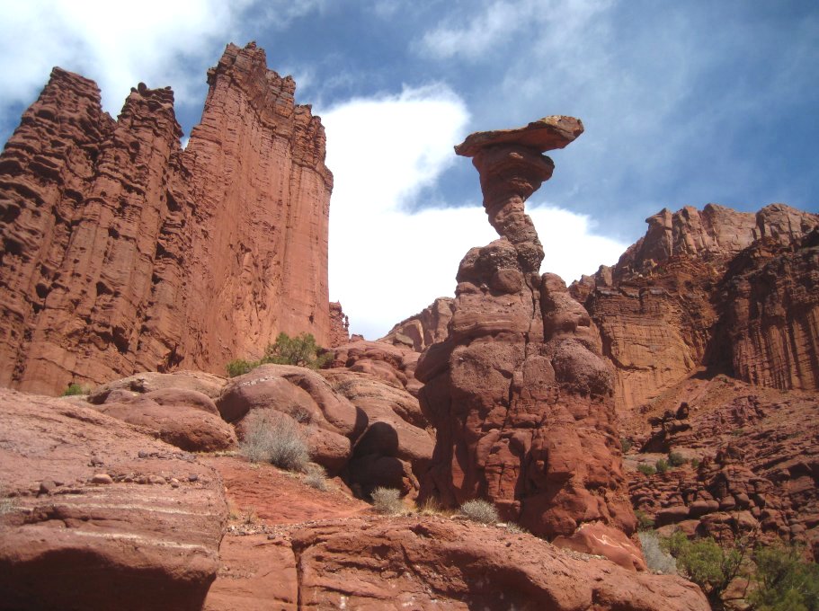
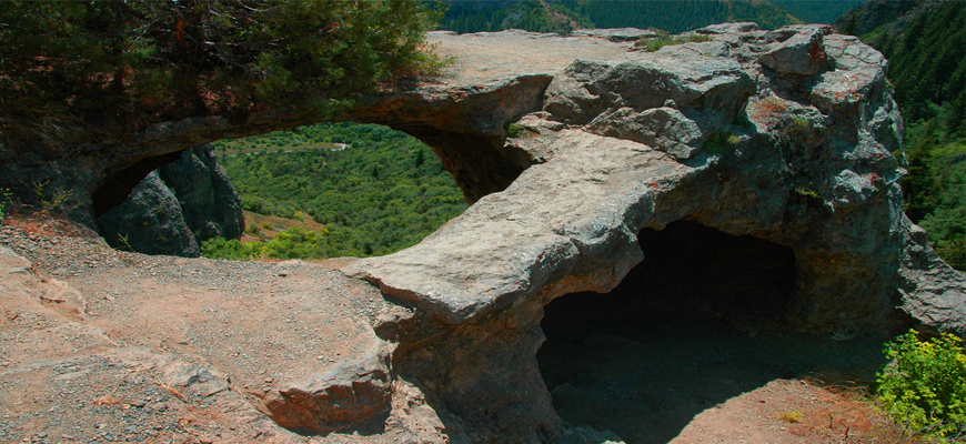
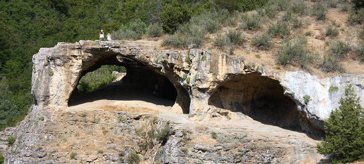
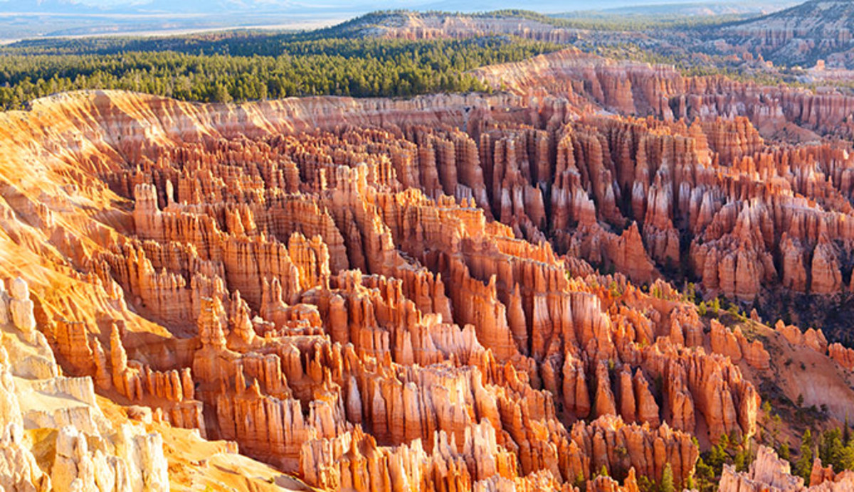
This is an easy trail that overlooks the Fisher Towers, popular for their scenic beauty with rock formations forming bizarre shapes and sizes made of cutler and Moenkopi sandstones (types of geological formation). The site has a parking lot. Despite being easy, the trail does not have much shade and gets pretty hot during the summer. The trail winds along the ridge edge approaching a few of the rock structures, and then swings towards the southern part climbing a ridge. This point is specifically beautiful as the trailers get the mesmerizing views of the Onion Creek to the south, as also the towers towards the northern side.
Length: 4.4 miles
Type: Easy
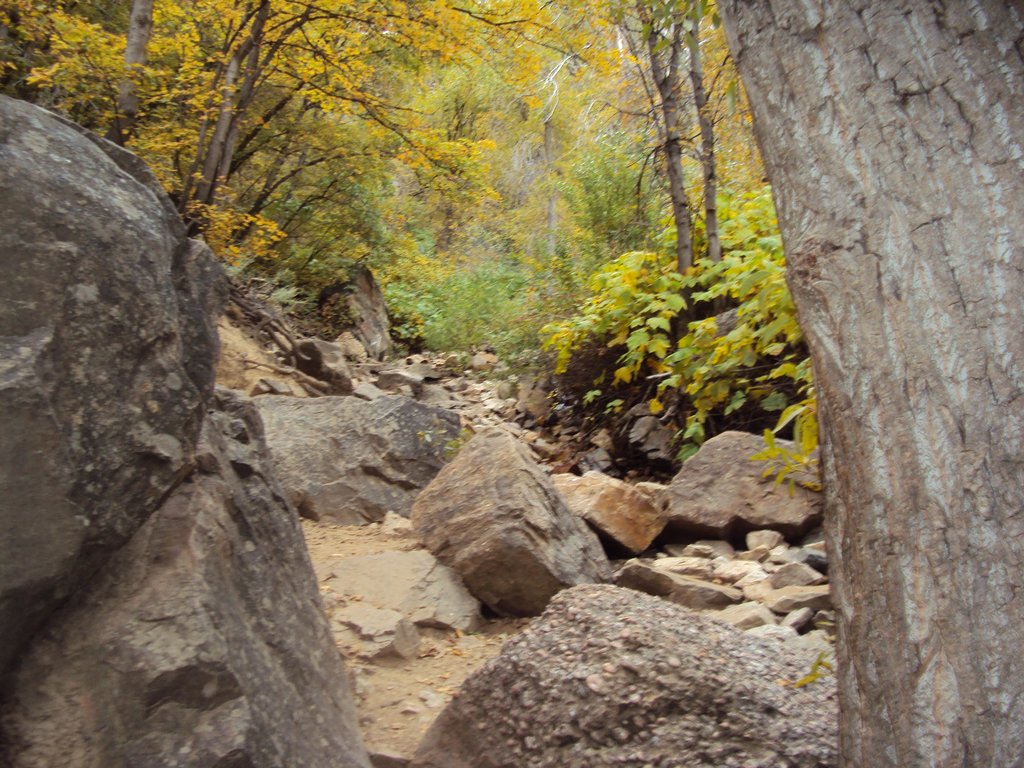
This popular trail is relatively shorter than many of those around and is ideal for canyon hiking with detailed views of the extraordinary rock formations that are bound to stun you. However, despite being on the easier side, it may have some minor challenges to offer, as you climb upwards, like, a few steep spots, and rocky areas with boulders. It would help if you also keep in mind that the condition of these tracks is dependent on the weather conditions. So, if you visit during December or January, you might come across some snow, and if, after the rains, you might walk through the mud. So, be equipped accordingly.
Length: 0.62 miles
Type: Easy to Moderate
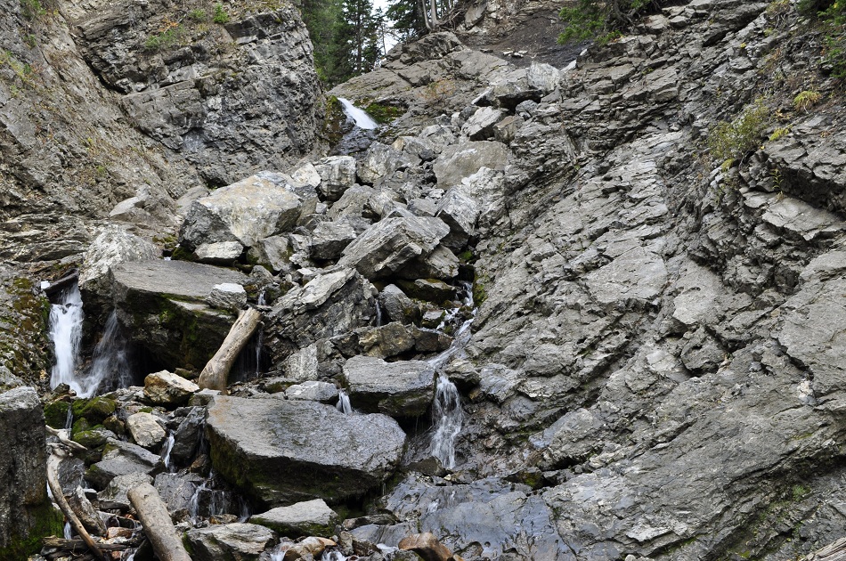
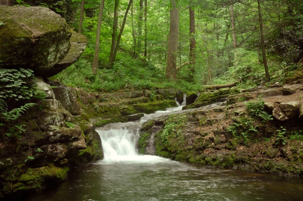
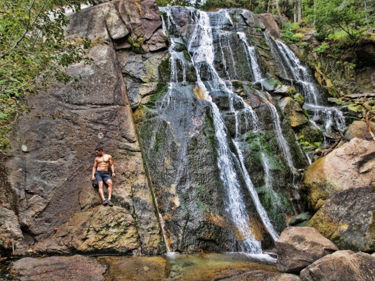
This heavily trafficked back-trail features a beautiful waterfall, which is the best attraction for this hiking trip and is equally good for travelers of any skill level – freshers to veterans. Also, it has a lot of options for different activities and remains accessible throughout the year. However, during winter, a portion of the trail may remain closed because of snowfall.
Length: 2.9 miles
Type: Easy
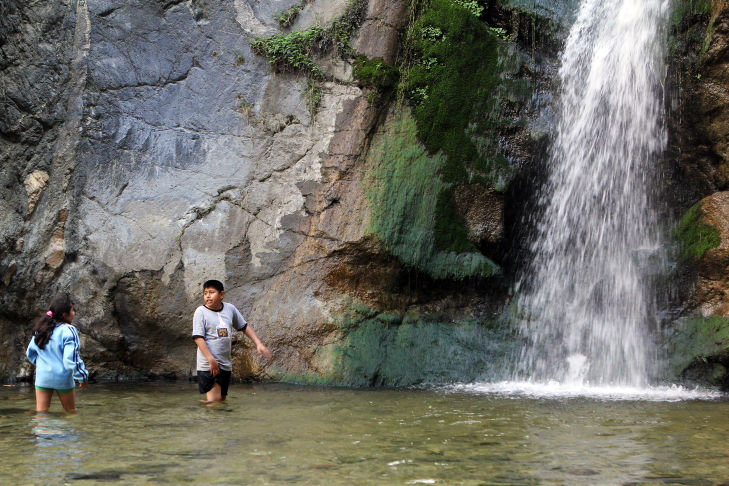
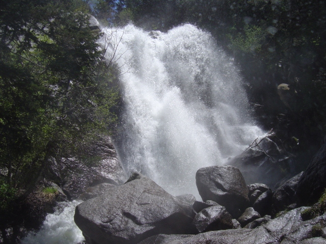
The Waterfall Canyon Trail is an amazing hiking site for people from all age groups, since, in spite of having a few areas that have loose rocks, almost everyone can explore the trail. The excellent view of the waterfall inside the premises and the option of quite a few trails add to its attraction. However, it should be kept in mind that some trails are meant for hikers, while some for mountain bikers. So, while walking through such trails, one must always be aware or expect to come face to face with the bikers on the blind corners. Also be careful about the muddy tracks and snow or ice during the rainy season and winter, respectively.
Length: 2.9 miles
Type: Easy
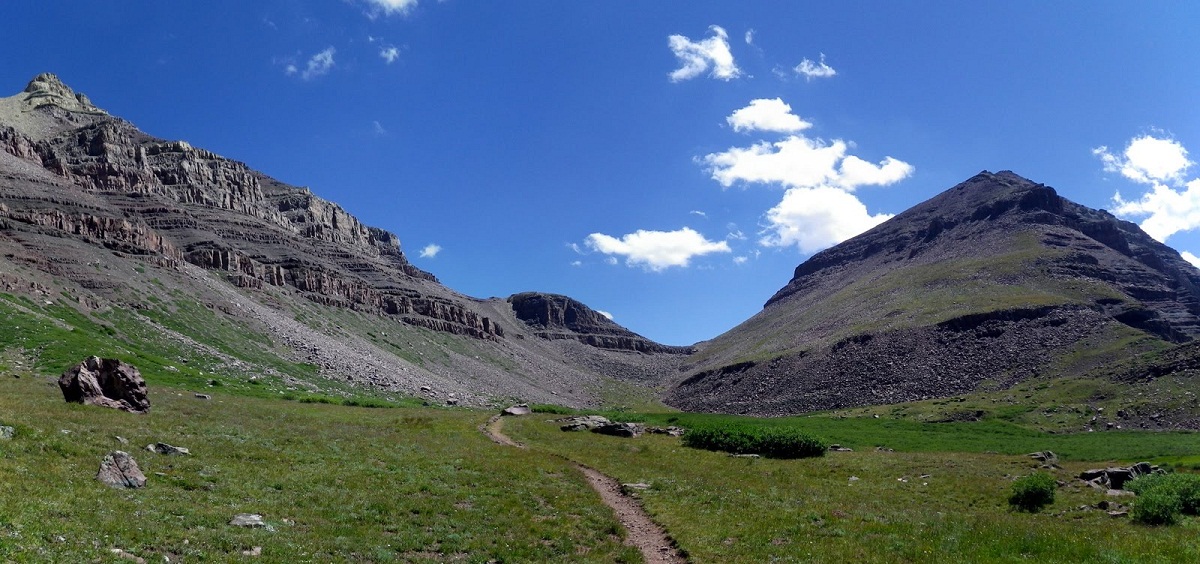
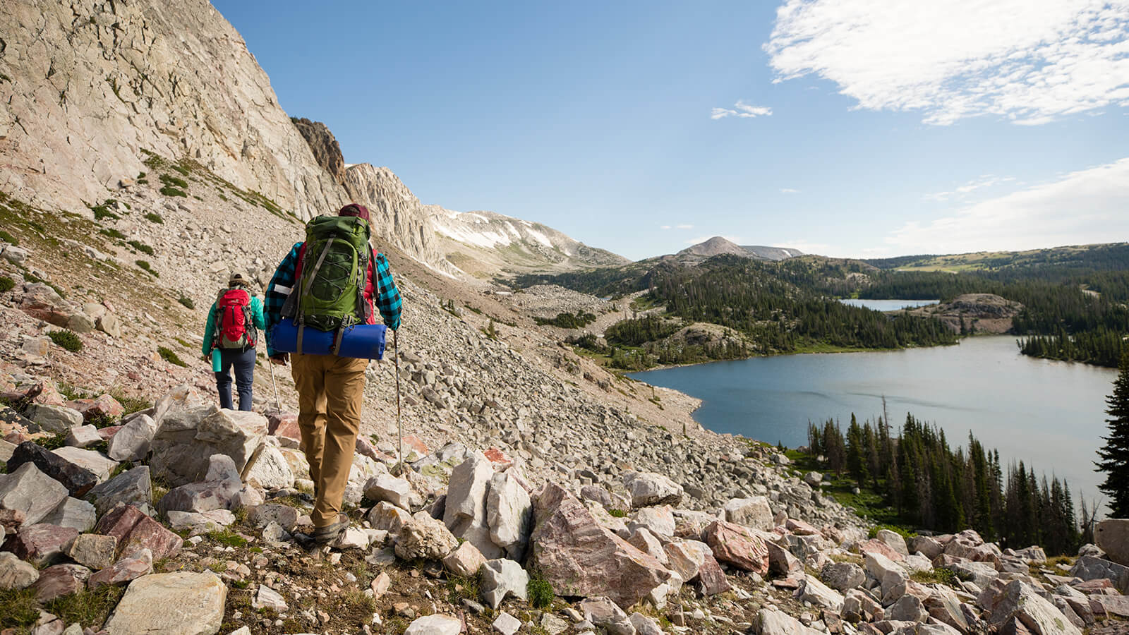
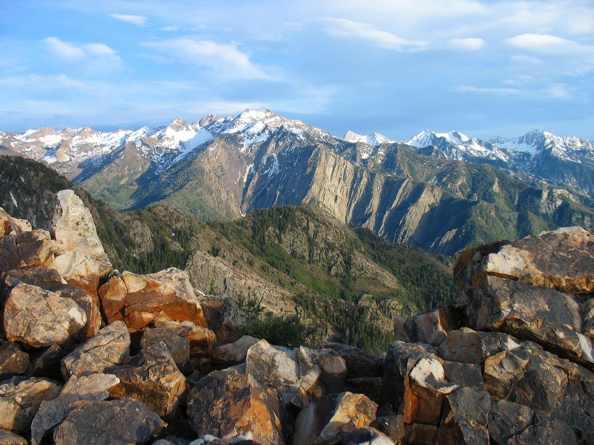
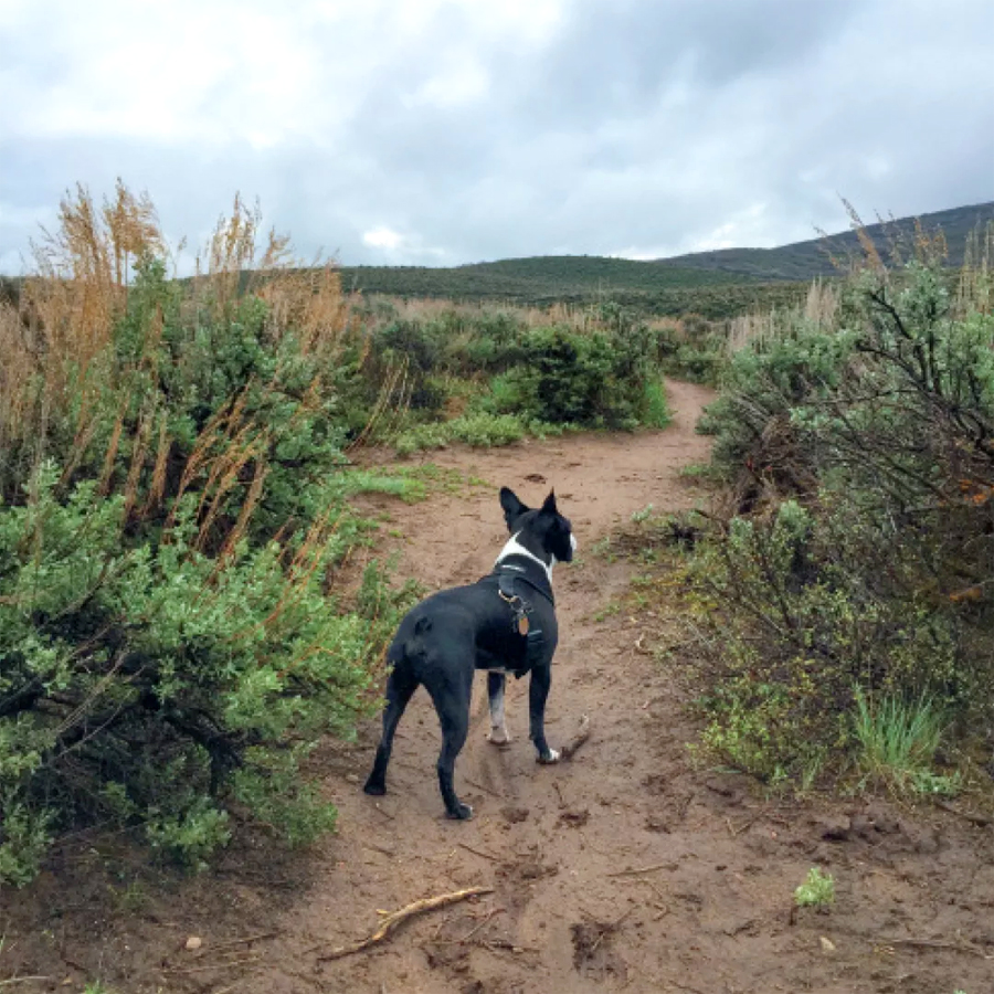
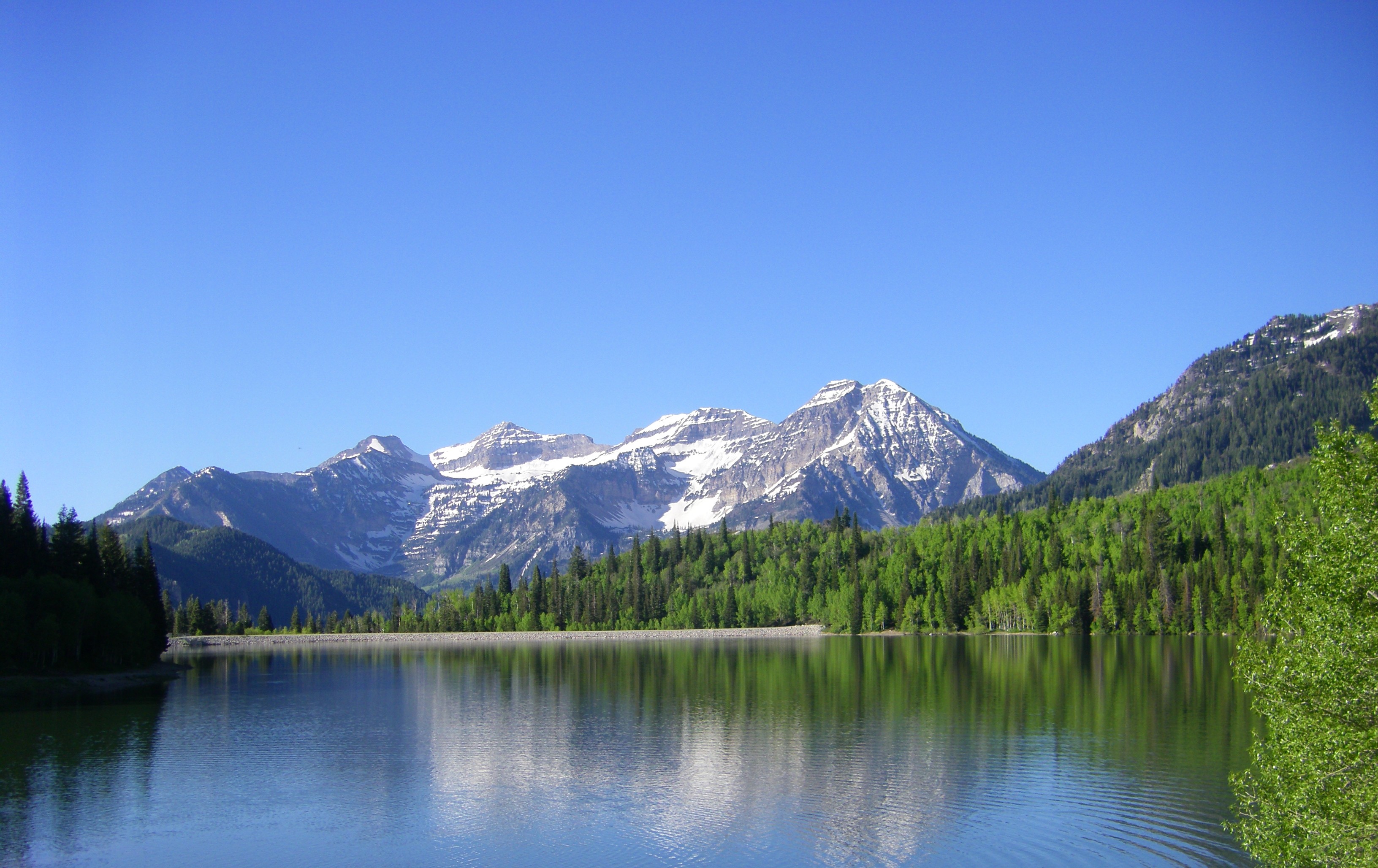
At 13,528 feet, Kings Peak is the tallest mountain in Utah. The trail starts from the Henrys Fork trailhead that leads to the Gunsight Pass at 11,891 feet, after which, the trail drops down into the Upper Painter Basin, approximately 2 miles to a trail junction. Then there is the Anderson Pass at 12,800 feet, and finally, the north ridge of the Kings Peak that is about 1.5 miles to reach the summit. Most of the visitors camp by the lakeside in Henrys Fork Basin. The trail is good for almost all mountainous activities like hiking, camping, birding, or backpacking. The best time is between April and October. The trail is pet-friendly since both horses and dogs can comfortably use the trail.
Length: 4.6 miles
Type: Difficult
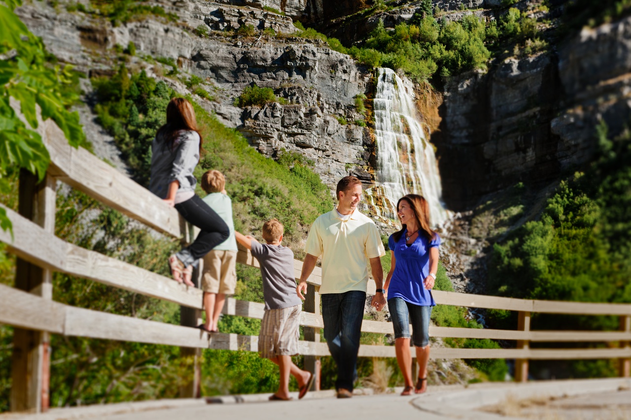
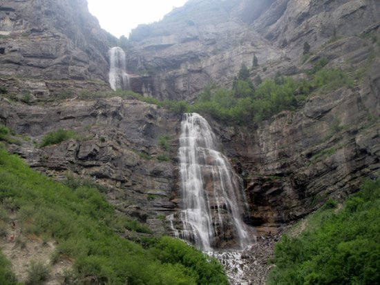
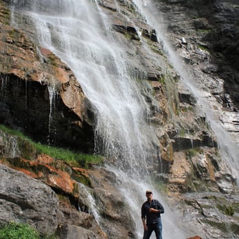
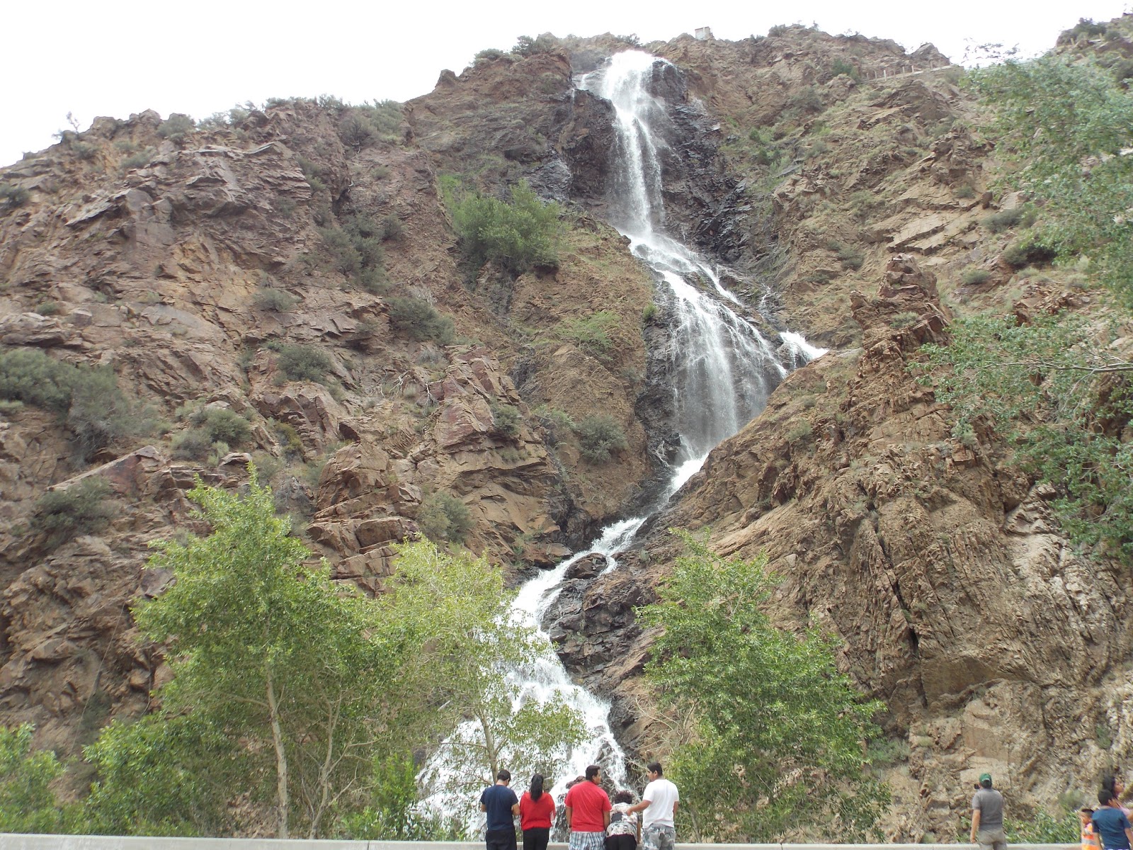
The Bridal Veil Falls Trail near Provo, Utah County, is a site good for all your family members, young to old. It is a 607-foot double cataract waterfall and is typically easy for even children to ride. However, the final (upper) part is somewhat difficult, since it is filled with loose rocks (though you can easily skip this part). There is also a fish pond close to the trailhead where the kids can easily spend a good time, fishing. However, since this trail is also meant for biking, take care of your kids from the running bikers.
Length: 1.3 miles
Type: Easy to Moderate
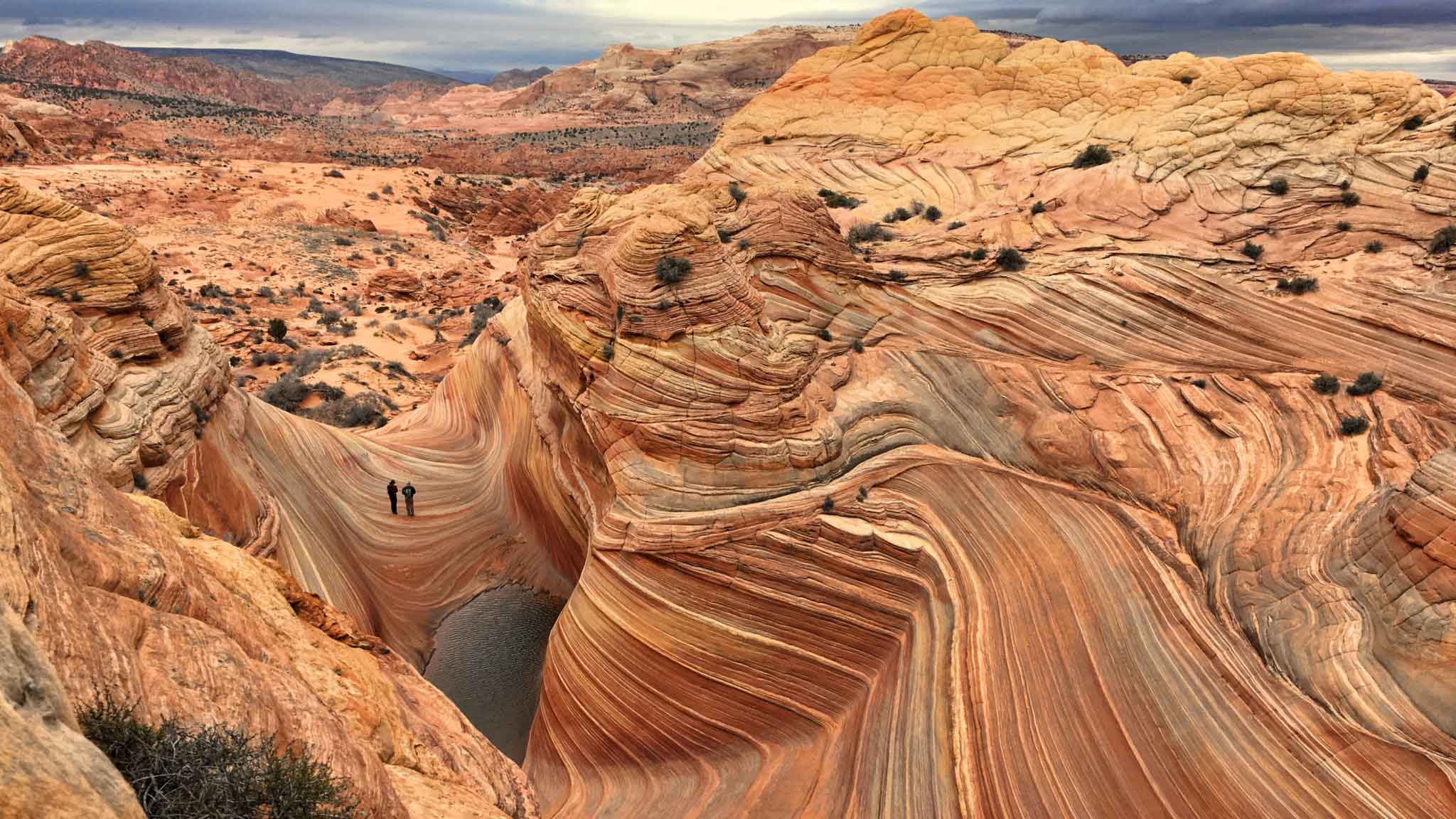
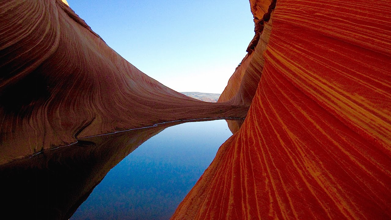
The Wave Trail is a famous landmark for hiking, walking, nature trips, birding, or even for visitors to come and watch the bizarrely-amazing landforms in sandstone, where the entire site gives visual impressions of waves in varied colors and forms! You will get to see the popular points in a single trail like the Vertical Crack or Notch, Twin Buttes, Multi-colored Domes, Top Rock, Alcove, Melody Arch and Grotto, Top Arch, etc. Also find the Dinosaur Tracks, where you will see the footprints of the ancient Megapnosaurus and Anomoepus. The area also features large areas of brilliant wildflowers.
The best time to visit the trail is from March until November, and you can also take your dogs. However, the most important thing to remember before planning for a visit is that you require a permit for this hike and that you need to win it by means of the permit lottery. For further information about the procedure, you can call the Ranger Station at (435) 688-3230.
Length: 5.2 miles
Type: Moderate
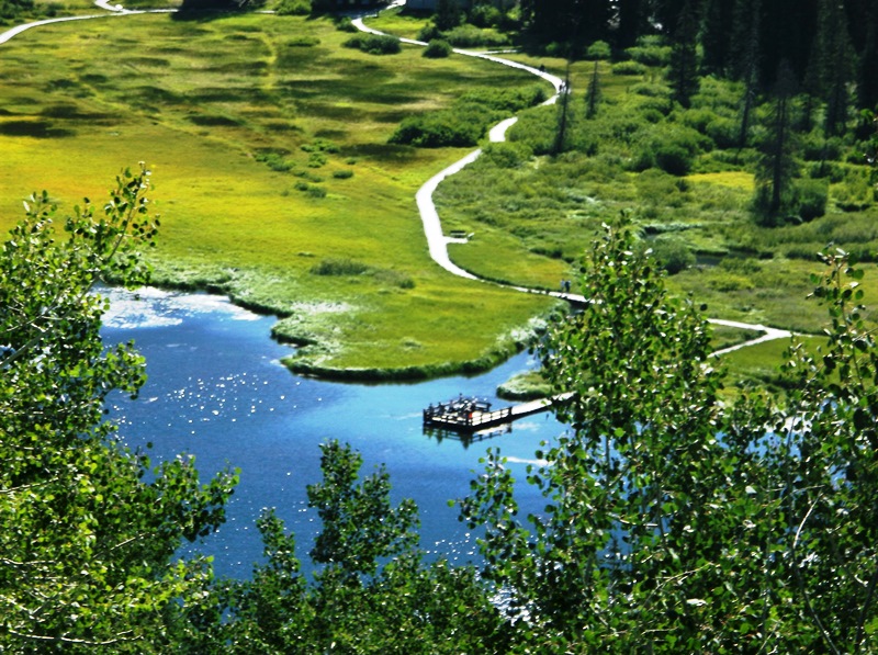
Located near American Fork, Utah, this site features the Silver Lake (not to be confused with the one at Brighton) and is a feast for the eyes. The hike ends at this lake having cliffs on one of its sides, and on the other, an exotic view of the entire valley. The good thing about this trail is that its slope is not too steep, while the whole site is also maintained properly. While walking through, you will find wild seasonal flowers and strawberries growing along your way, and your dog can accompany you as well. Since this site is a popular one, you need to keep it on a leash. Finally, you might want to wet your feet sitting by the side of this beautiful lake.
Length: 4.26 miles
Type: Moderate

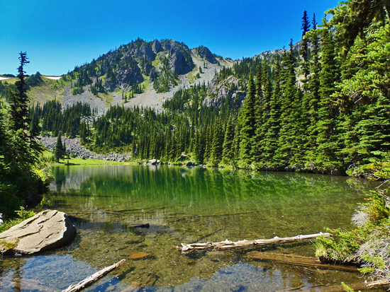
This scenically beautiful trail has moderate traffic throughout the year and is located in Utah’s Sandy. The trail is known for its beautiful and scenic reservoir, which is almost ½ a mile above the trailhead and is somewhat difficult to explore.
It offers various activities, while the best time to use the trail is between April and September when one can get the best views of the entire reservoir, as also, the city, from high above the trail line. The approximate time to complete exploring the trail is a little more than 4 hours. However, the trail leading up is extreme, and is steeply inclined, with lots of rocks and other land features you need to climb over. But you will also find places to take rest or sit for a while in the middle of your journey.
Length: 4.41 miles
Type: Difficult
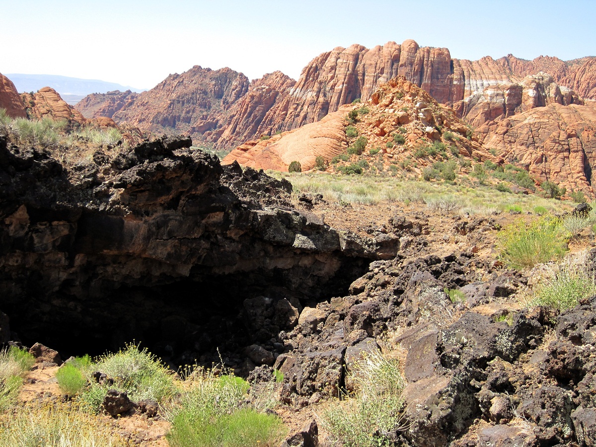

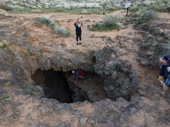
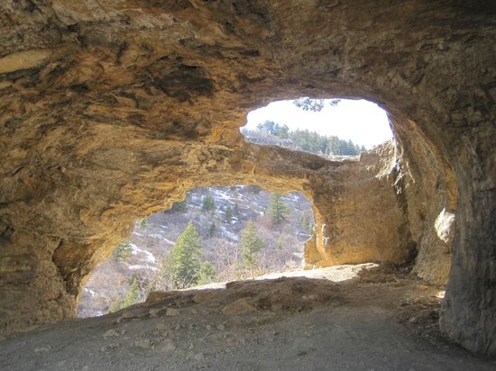
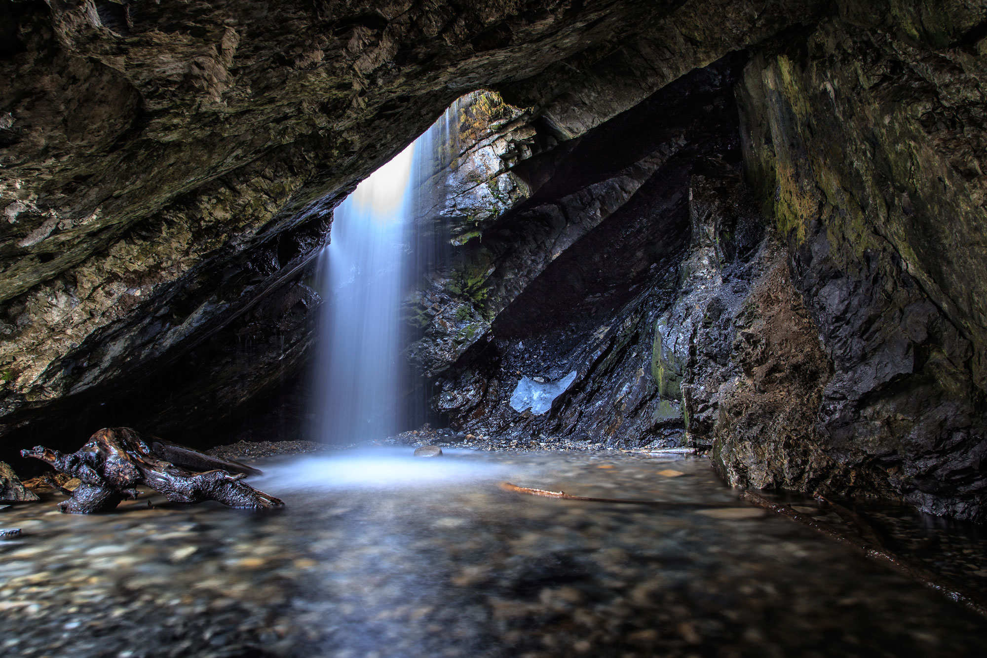
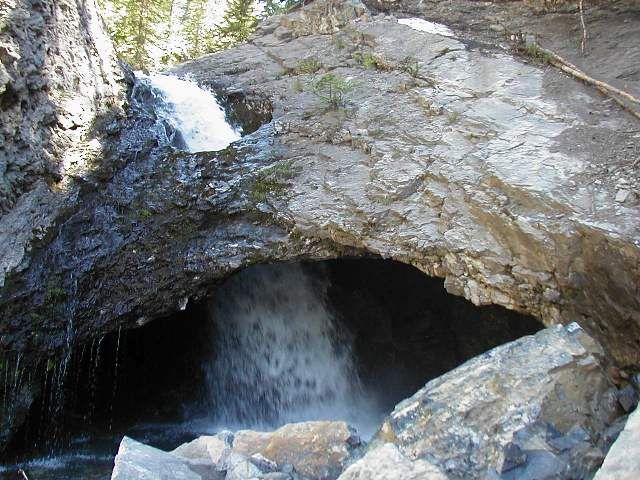
Lava Tube Trail is known for its extremely bizarre and haunting cave formations, along with the associated scenic charm during the day hikes. The emptiness of the serene beauty of nature inside the caves will take you far from the crowd. This trail is also lightly trafficked and is studded with greens and wildflowers all through the way. The trail is not difficult to explore, and shouldn’t take more than 3 to 4 hours for an average, healthy hiker. Apart from hiking, the site is also popular for other activities including birding, walking, nature trips, etc., and is open to the public throughout the year.
Length: 2.3 miles
Type: Moderate
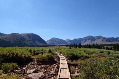
Apart from these, there are several other hiking spots as well, and here, we have enlisted the best ones for you, so that you can pick and choose from your favorite – those with lakes, waterfalls, reservoirs, mountains, or amazing scenic views, including the Stewart Falls Trails, Escalante’s Lower Calf Creek Falls Trail close to the small but populated town of Boulder, as also other minor lake sites like the Cecret Lake Trail and the Rainbow Bridge Trail site along the banks of Lake Powell.
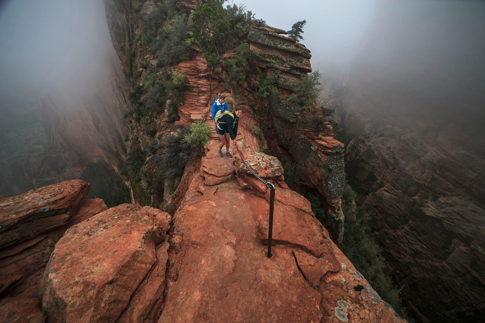
The more risky trails are also there, like the Angels Landing Trail at the Zion National Park, known to be one of the most dangerous hiking spots of Utah (though closed at present), and the notably difficult Subway Trail at the same location.

Hello there! My name is Jay and I run this website. I'm a full-time traveler and freelance writer. This is where I share travel advice and help people pursue their traveling dreams.
You can learn more about me and my mission on the about me page.
It's nice to have you here :)